Fall foliage peak dates by location
Typical timing by elevation, sunrise direction and local weather for 188 researched overlooks, parks and trails.
Fall foliage map
- No change
- First color
- Approaching peak
- Peak
- Past peak
- Bare
- Outside model range
Latitude and elevation estimates; actual timing may vary by weeks. Colors apply where deciduous trees grow.
Map sources & limitations
Terrain: Mapzen Terrain Tiles, with USGS 3DEP, SRTM and GMTED2010 elevation data. Our seasonal model estimates timing from latitude and elevation; it does not incorporate this year's weather, tree species or forest cover. Fine terrain detail does not imply forecast precision. Neutral areas fall outside the model's 30–49°N range.
Alaska uses a separate regional timing estimate and is inset at 0.29× scale. Washington, DC and Hawaii have their own guides. How the timing model works · Calculated 2026-11-03.
Typical peak around Nov 3, 2026
No states are in their typical peak window on this date.
Peaking next
Seasonal model estimate. Timing remains uncertain; check recent reports before traveling. Source: seasonal timing model. Calculated .
Locations peaking around Nov 3, 2026
Higher elevations often reach peak before nearby valleys.
- Beavers Bend State Park, Mountain Fork River Peak
Broken Bow Lake, OK · 473 ft
The Mountain Fork River runs out of the base of Broken Bow Lake through pine and hardwood bottom, tight enough that the far bank fills the frame. Flat light keeps the water readable and stops the pine from going black next to the oaks.
- Bill Williams River National Wildlife Refuge Peak
Lower Colorado River, AZ · 486 ft
One of the last naturally regenerated cottonwood-willow stands on the lower Colorado, eight thousand feet below the aspen on the San Francisco Peaks. Green gallery forest in a bare desert canyon is the whole picture, and it goes gold against red rock rather than against more forest.
- Santee National Wildlife Refuge Peak
Lake Marion, SC · 78 ft
Mixed hardwood and pine along the north shore of Lake Marion, three thousand feet below the escarpment overlooks that were the state's only entries. Loblolly holds green through the season, so the hardwood turn reads as patches against it rather than a full canopy.
- Wheeler National Wildlife Refuge Peak
Tennessee River Valley, AL · 565 ft
Tupelo swamp and backwater embayment on the Tennessee River near Decatur, a thousand feet below the Talladega ridges and a wholly different fall. Standing water and still air early give the swamp a mirror the mountains cannot offer.
- Caddo Lake National Wildlife Refuge Peak
East Texas Pineywoods, TX · 229 ft
One of the best mature flooded bald cypress forests in the country, with trees up to four hundred years old standing in still water. Cypress turns late and rust-brown rather than red, and the uplands behind it are pineywoods oak and hickory, so this is a different Texas fall from the hill country entirely.
- Cedar Lake, Ouachita National Forest Peak
Ouachita Mountains, OK · 1,017 ft
A clear lake below the north face of Winding Stair Mountain, with the ridge standing behind the water. Still mornings put the whole slope on the surface, and the pine understory gives the oak color something dark to sit against.
Through Andy’s lens
Meet the photographer-
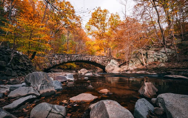
Archive photograph · © Andy Feliciotti Boulder Bridge, Rock Creek Park
- Typical peak
- Oct 18 – Oct 26
- Plan for
- Overcast light
-
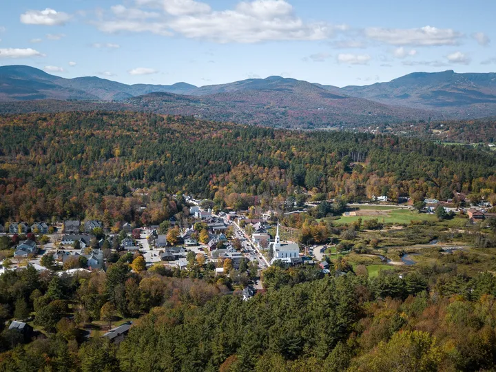
Archive photograph · © Andy Feliciotti Stowe Community Church
- Typical peak
- Oct 2 – Oct 10
- Plan for
- Sunrise or sunset
Typical seasonal windows. Source: seasonal timing model; local weather can shift peak.